Understand what you have in the ground
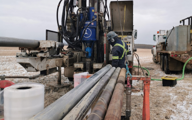
Gathering and integrating various geological data sources, including field observations, borehole data, satellite imagery, and geophysical measurements.
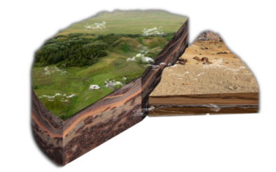
Constructing a geological model includes the interpretation of collected data to create a three-dimensional visualization of subsurface structures.

Our modeling services employ advanced software tools and modeling techniques to interpret and visualize the geologic data. These models serve to analyze and interpret the geological deposit. Some of the benefits derived from a geological model include:
Your geological models can provide so much more to your business. Below are some of the ways RockSight can take you beyond just a model
The geoscientists and mining engineers of RockSight have developed proprietary software for modelling several different deposit types.

Our proprietary software allows us to quickly and accurately build geological models specifically for gravel and sand deposits

We are able to model the specific gradations of silica sand to allow for better estimations of final products

We have specialized knowledge of the Von Post scale and the nature of sphagnum peat deposits

We can use both geophysical and drilling data to model bedrock profiles